

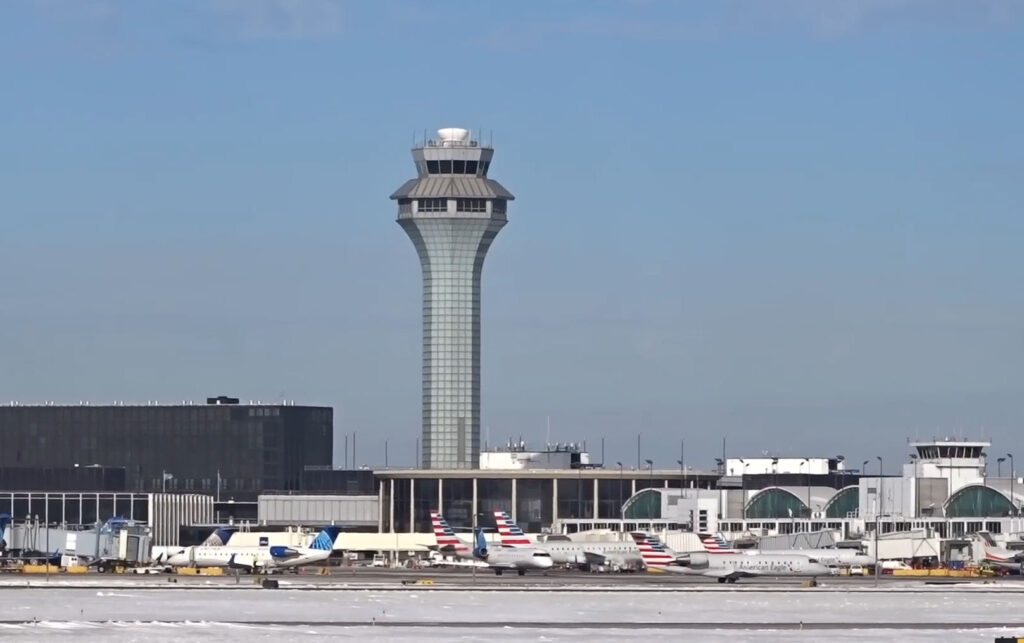
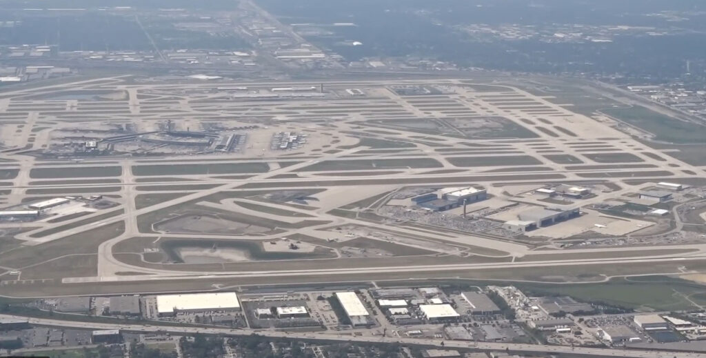
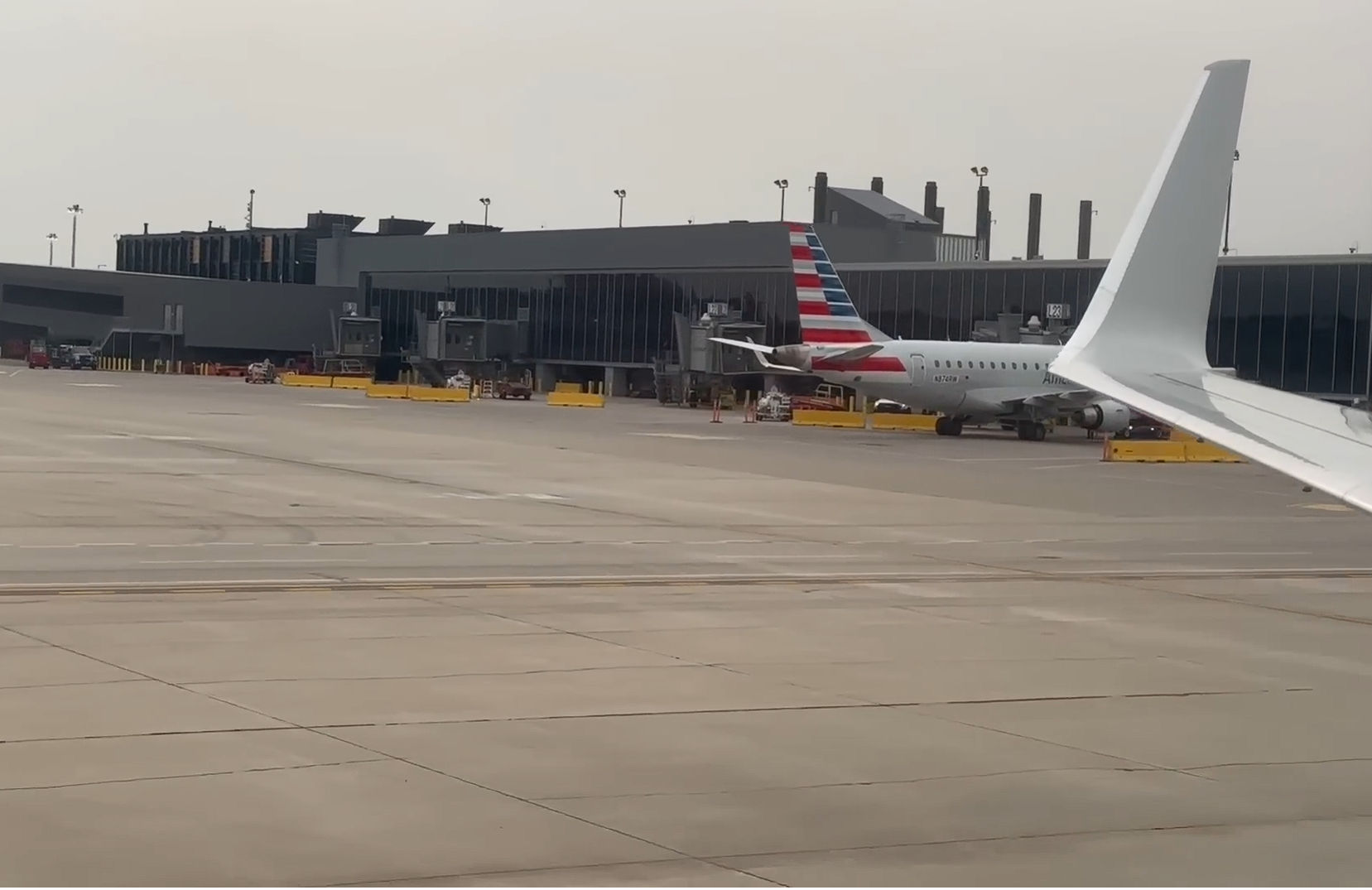
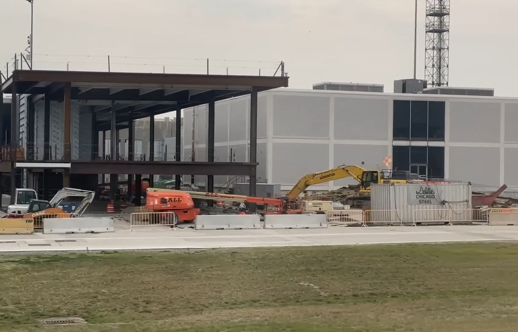
The O’Hare Modernization Program (OMP) is one of the largest, most complex, and strategically critical airport construction projects in the United States. Spanning for more than a decade, this multi-phase initiative transformed O’Hare International Airport from an outdated intersecting runway system into a modern parallel runway configuration. The project significantly reduced flight delays, increased runway capacity, and enhanced operational efficiency, ensuring that O’Hare can accommodate growing passenger and cargo volumes for decades to come. Beyond improving aviation operations, the program strengthened safety, supported technological advancements, and reinforced O’Hare’s position as a key national and international transportation hub. Its scale, complexity, and long-term impact make it a defining infrastructure project in U.S. aviation history.
Managing Survey and Civil Engineering Services
DB Sterlin played a critical role as part of the BPC Airport Partners Joint Venture, providing survey management services to support the master civil engineering program across the entire project. The team oversaw all survey activities, ensuring quality assurance and control for every dataset collected. Survey data was compiled into topographic maps and digital terrain models, forming the foundation for all civil engineering design and construction efforts. DB Sterlin coordinated closely with multiple engineering firms, distributing survey information to design teams and maintaining precise mapping of airport utilities and infrastructure.
Survey responsibilities spanned a wide range of essential services, including property surveys, airport boundary surveys, land acquisition and release parcel surveys, avigation easement surveys, and detailed topographic surveys. These efforts directly supported planning, design, and construction across the entire modernization program.
Supporting the Civil Master Plan
DB Sterlin contributed to major projects within the OMP Civil Master Plan, including:
- Six east-west parallel runways and two crosswind runways
- North and South Perimeter Roads and associated security fencing
- Relocation of Willow-Higgins Creek and multiple access roads
- Mount Prospect Road and guard post relocations
- $103-million relocation of an existing Union Pacific rail line to allow runway expansion
The team also provided utility mapping, land acquisition support, and preparation of boundary surveys for O’Hare Airport property. Cost estimates, project schedules, reports, and correspondence were prepared to ensure that every phase adhered to budgetary, operational, and safety requirements.
Building a World-Class Airport
Through advanced surveying techniques, meticulous civil planning, and rigorous project coordination, DB Sterlin delivered the foundational data and engineering guidance that enabled the OMP to succeed. The program’s completion transformed airport operations, improving efficiency, safety, and capacity for millions of passengers and tons of cargo that transit through O’Hare every year. By supporting this landmark modernization effort, DB Sterlin helped set a new standard for large-scale aviation infrastructure in the United States.







Markets
- Chicago Department of Aviation
- Aviation Infrastructure
- Airport Modernization
- Survey Management and Civil Engineering
- Transportation and Public Works
Services
- Survey Management and QA/QC
- Topographic Mapping and Digital Terrain Modeling
- Utility Mapping and Coordination
- Property, Boundary, and Land Acquisition Surveys
- Civil Master Plan Support and Project Coordination
- Cost Estimates, Scheduling, and Reporting
- Land Release and Avigation Easement Surveys